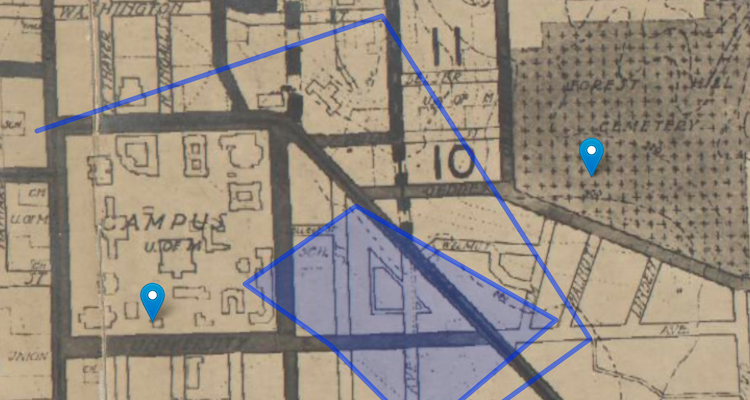
In this wokrshop, modified from a NYPL Labs tutorial, we will create a web map from a (scanned) print map of Ann Arbor. This includes: georeferencing a historic map, tracing parks, finding and including historic building data, and putting all content together into an interactive web map.
You can download accompanying data and resources in the GitHub repository.